Advanced ROS2-Powered Autonomous Navigation System with Defense-Grade Sensor Fusion
Lorem ipsum dolor sit amet, consectetur adipiscing elit, sed do eiusmod tempor incididunt ut labore et dolore magna aliqua.
"60% of robotics projects face >6 month delays due to sensor protocol conflicts." – Gartner, 2023 Robotics Integration Report
Your pain point:
Harmonizing DVL, IMU, GPS, LiDAR, cameras across protocols
"45% autonomy failure rate in GNSS-denied zones without advanced fusion." – IEEE Transactions on Robotics, 2024
Your pain point:
Navigation failures in murky waters/off-road terrains
"Separate land/sea systems increase costs by 35% and delay deployment by 12-18 months." – McKinsey Automation ROI Report, 2023
Your pain point:
Duplicated maintenance efforts
"Teams building from scratch take 2.3x longer to reach deployment than those using pre-integrated stacks." – Forrester, 2023 Robotics Development Benchmark
Your pain point:
Missing waypoint navigation and obstacle avoidance
"85% of organizations cite talent gaps in sensor fusion as a critical barrier to scaling." – BCG, 2024 Robotics Skills Survey
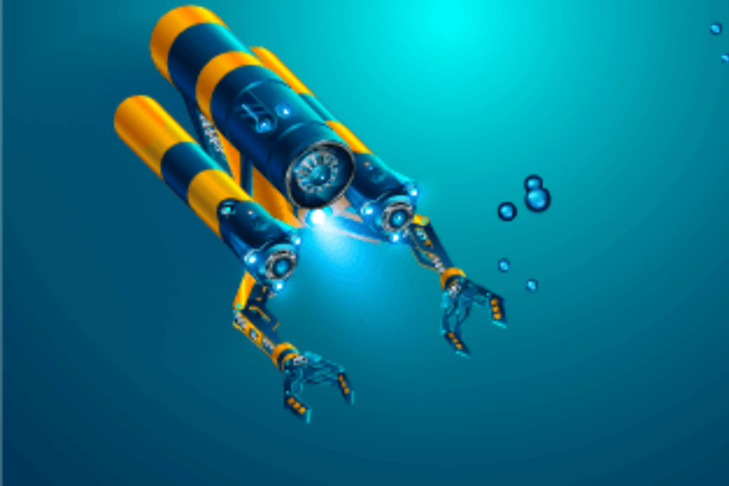
Your pain point:
Lack of resources for adaptive path planning
– Gartner, 2023 Robotics Integration Report
Your pain point:
Harmonizing DVL, IMU, GPS, LiDAR, cameras across protocols
– IEEE Transactions on Robotics, 2024
Your pain point:
Navigation failures in murky waters/off-road terrains
– McKinsey Automation ROI Report, 2023
Your pain point:
Duplicated maintenance efforts
– Forrester, 2023 Robotics Development Benchmark
Your pain point:
Missing waypoint navigation and obstacle avoidance
Your pain point:
Missing waypoint navigation and obstacle avoidance
– BCG, 2024 Robotics Skills Survey
Your pain point:
Lack of resources for adaptive path planning
Your pain point:
Lack of resources for adaptive path planninguplicated maintenance efforts
Complex Sensor Integration
Modular software for perception, localization, mapping
Customizable navigation with real-time obstacle handling
Synchronizes GPS, IMU, DVL, LiDAR, and cameras
Interfaces with CAN, UART,udp,tcp, Ethernet, proprietary systems
Gazebo/Unreal + Dockerized ROS2 containers
Detailed ICDs and deployment handholding
Ready-to-integrate ROS2 stack Pre-configured for
UGVs/USVs/AUVs
Plug-and-play fusion of IMU, DVL, LiDAR, <0.5m accuracy in GPS-denied environments
Single codebase for terrestrial & maritime 70% reduction in maintenance efforts
Dockerized simulation-to-field pipeline 50% less testing time (Gazebo/Unreal)
• Autonomous port logistics (ship-to-shore cargo)
• Offshore energy platform inspection with USVs
• Agricultural field analysis via terrain-ready UGVs
• Coastal surveillance with USVs in GPS-
Denied Navigation zones
• Underground infrastructure inspection using UGVs
• Environmental monitoring AUVs for pollution mapping
• Single platform for UGVs/USVs/AUVs → 60% faster deployment
• Eliminates separate terrestrial/maritime development
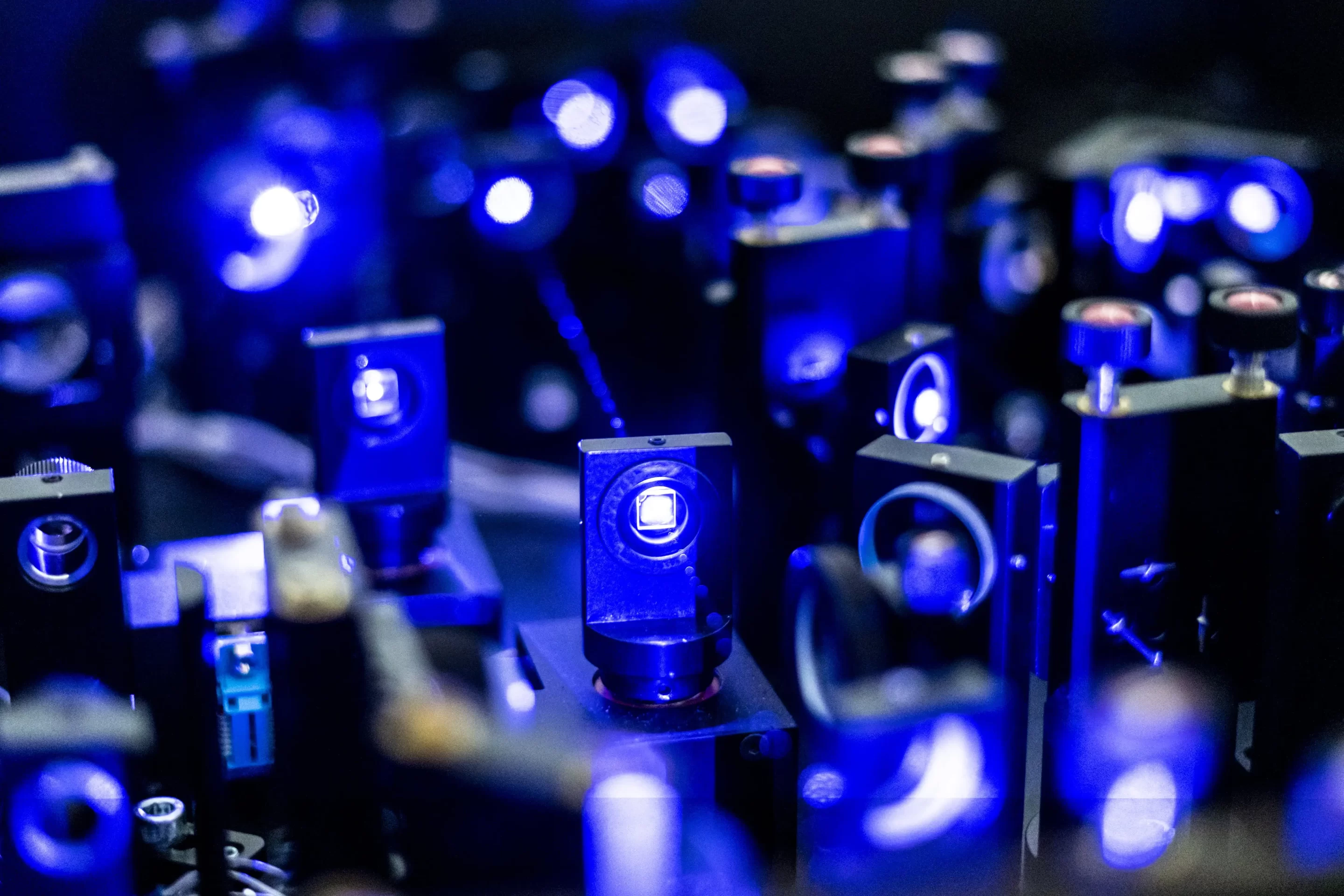
• Plug-and-play support for 10+ sensors
• <0.5m localization accuracy in challenging environments
• Zero vendor lock-in → Works with ANY hardware
• Certified for sensitive operations (ISO 27001)
• 70% faster testing via simulations
• Kubernetes-ready for fleet management
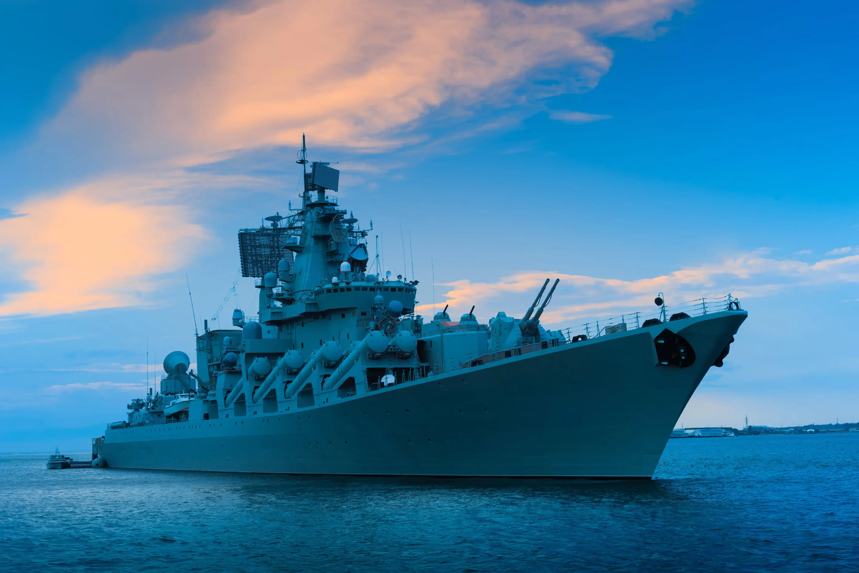
• 4+ years delivering for DRDO/NIOT/Cochin Shipyard
• CMMI Level 3 certified processes