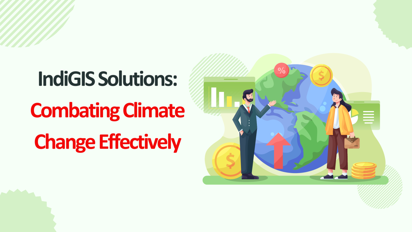
Climate change is an urgent global issue demanding advanced technological solutions for effective management and resolution. Geographic Information Systems (GIS) have emerged as indispensable tools in this endeavor, offering robust capabilities for monitoring environmental changes, implementing mitigation strategies, and fostering innovative solutions. With the ability to analyze spatial and temporal data, GIS equips stakeholders with actionable insights to combat climate challenges effectively. This comprehensive guide explores the pivotal role of GIS services in tackling climate change through monitoring, mitigation, and innovation, alongside their practical applications, benefits, and future trends. 1. GIS and Climate Change Monitoring: Understanding the Crisis Monitoring is the cornerstone of climate action. GIS integrates satellite imagery, remote sensing, and real-time data collection, creating a comprehensive picture of environmental changes over time. Applications of GIS in Monitoring Real-World Example The Amazon Conservation initiative employs GIS to monitor deforestation and illegal logging activities, supporting preservation and sustainable land management. 2. Mitigating Climate Change with GIS: A Strategic Approach Mitigation strategies aim to minimize the impacts of climate change by reducing greenhouse gas emissions and enhancing carbon sinks. GIS supports this by optimizing resource allocation and guiding sustainable practices. With advanced GIS mapping services, organizations can visualize data, identify key areas for intervention, and implement targeted mitigation efforts. These services empower decision-makers to adopt sustainable solutions that reduce emissions and strengthen environmental resilience. Applications of GIS in Mitigation Real-World Example Denmark leverages GIS to manage its renewable energy transition, identifying wind farm locations that maximize energy output while minimizing environmental impact. With the support of expert GIS consultancy services, countries and organizations can adopt similar strategies, using GIS to analyze data, optimize resource allocation, and implement sustainable energy solutions. GIS consultants provide tailored insights that drive effective planning and long-term success in renewable energy projects. 3. Driving Climate Adaptation with GIS Adapting to the effects of climate change is critical to safeguarding lives and livelihoods. GIS provides tools for risk assessment, disaster planning, and long-term resilience strategies. Applications of GIS in Adaptation Real-World Example The Netherlands uses GIS-driven adaptive planning to manage its flood defenses, combining traditional engineering with nature-based solutions. 4. Innovations in GIS Technology GIS is evolving rapidly, with innovations that enhance its effectiveness in climate action. Key GIS Innovations Real-World Example In Singapore, GIS and AI technologies collaborate to manage urban growth while reducing environmental impacts, creating a smart and sustainable city model. 5. Collaborative Efforts and Policy Support Using GIS Climate change demands coordinated efforts across multiple sectors. GIS fosters collaboration among governments, researchers, and organizations by providing a common platform for data sharing and decision-making. How GIS Supports Policy Real-World Example The United Nations Framework Convention on Climate Change (UNFCCC) uses GIS to monitor global progress on carbon reduction goals. 6. Challenges in Using GIS for Climate Action Despite its potential, GIS faces challenges that can limit its adoption and effectiveness. Key Challenges 7. Future Directions for GIS in Climate Action The future of GIS lies in its integration with emerging technologies and its expanding role in global climate strategies. Emerging Trends Conclusion GIS is a cornerstone in the fight against climate change, offering unparalleled capabilities for monitoring environmental changes, developing mitigation strategies, and driving adaptive innovations. By harnessing the power of GIS, stakeholders can create data-driven solutions that promote sustainability, resilience, and collaborative action. At MicroGenesis, a leading GIS consulting company, we empower organizations to leverage GIS for impactful climate action. From predicting floods to planning renewable energy projects, we provide tailored GIS solutions that address environmental challenges and drive sustainability. As technological advancements continue to expand GIS’s capabilities, MicroGenesis is here to help you stay ahead, enabling a proactive and unified global response to climate change.
- Company
-
-
Company
Built on strong engineering fundamentals, thoughtful, future-driven leadership, and a collaborative culture, we at MicroGenesis focus on delivering dependable outcomes for customers and partners.
-
-
- Services
-
-
Services
Our engineering, automation, and operations are integrated to ensure systems move reliably for building long-term operation.
The intent is to reduce risk, manage change effectively, and sustain performance in complex environments.
-
-
- Products
-
-
Products
Built to solve focused, recurring problems encountered in complex engineering and operational environments, our products emphasize accuracy, automation, and reliability to support better decisions and more efficient execution.
-
-
- Partners
-
-
Partners
Our partnerships are built around applying proven platforms to real engineering and operational challenges with a focus on improving traceability, automation, and quality across complex systems and development lifecycles.
-
-
- Defence
-
-
Defense
Our offerings leverage advanced technologies to boost situational awareness, automation, and accuracy, combining geospatial intelligence with autonomous systems for informed decision-making.
-
-
- Resources
-
-
Resources
Access insights from MicroGenesis on solving complex engineering and technology challenges. Our resources cover practical solutions, scalable strategies, and approaches that drive operational efficiency. Subscribe for the latest expert perspectives.
-
-
- Contact Us