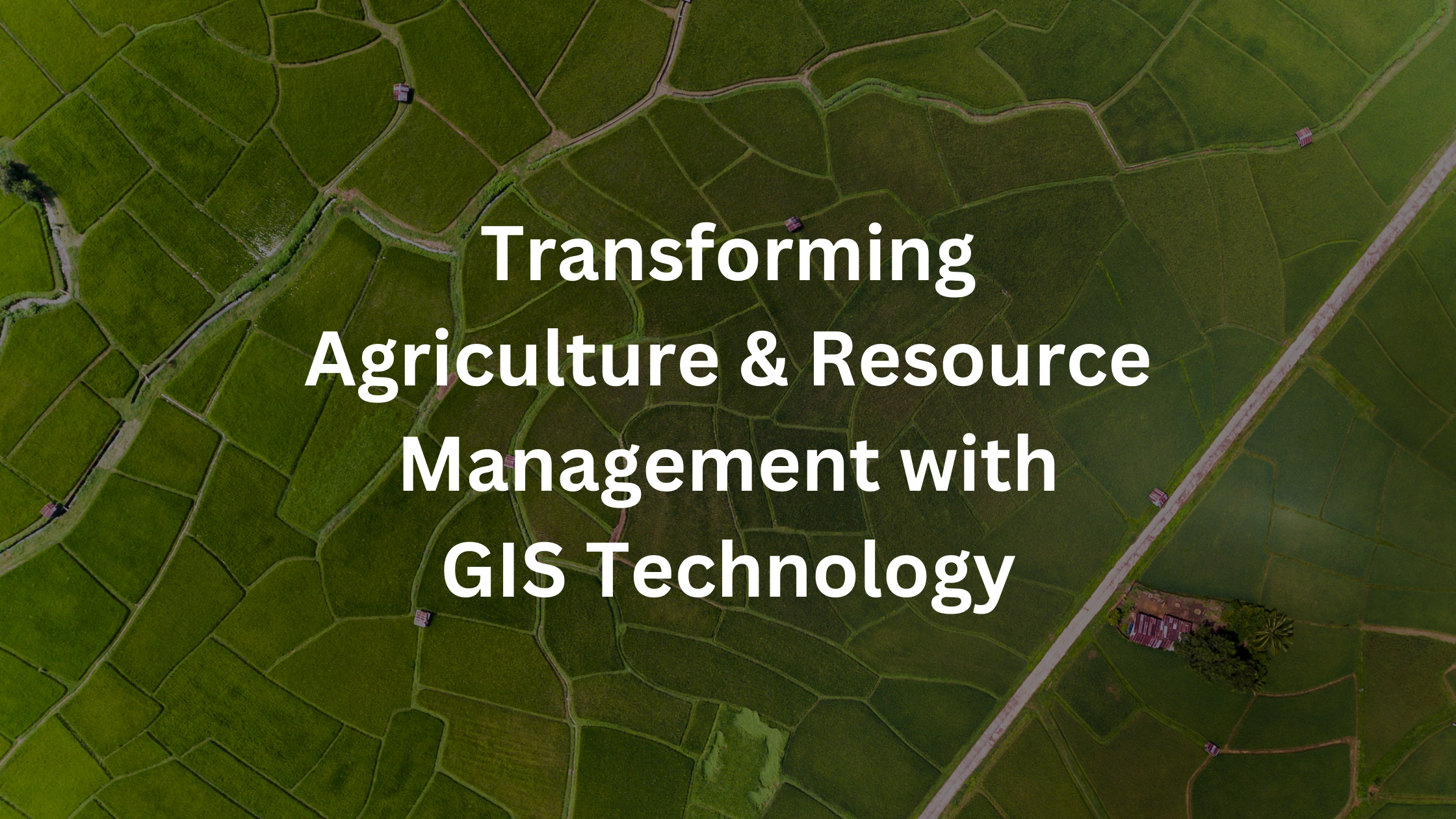
In recent years, Geographic Information Systems (GIS) have revolutionized the way agriculture and natural resources are managed. By integrating spatial data with advanced analytical tools, GIS technology offers invaluable insights that help optimize agricultural practices, preserve natural resources, and ensure sustainable land management. In this blog post, we’ll delve into the various applications of GIS in agriculture and natural resource management, highlighting its significance in addressing key challenges and driving innovation in these sectors.
1. Precision Agriculture: One of the most significant applications of GIS in agriculture is precision agriculture. By collecting and analyzing spatial data such as soil properties, weather conditions, and crop health, farmers can make informed decisions regarding planting, irrigation, fertilization, and pest control. GIS tools enable farmers to create detailed maps of their fields, identify areas with specific needs, and implement targeted interventions to maximize crop yields while minimizing resource inputs.
2. Crop Monitoring and Management: GIS technology facilitates real-time monitoring of crop health and growth using satellite imagery and remote sensing data. By analyzing vegetation indices and other indicators, farmers can detect anomalies, identify crop stressors, and take corrective actions promptly. GIS-based crop monitoring systems enable farmers to optimize inputs, detect diseases early, and implement precision agriculture practices tailored to specific crop requirements.
3. Soil Conservation and Management: GIS plays a crucial role in soil conservation and management by providing insights into soil erosion, moisture levels, and nutrient distribution. By mapping soil properties and erosion-prone areas, land managers can implement conservation practices such as contour farming, terracing, and buffer strips to mitigate soil erosion and preserve soil fertility. GIS tools also facilitate soil sampling and analysis, enabling farmers to make data-driven decisions regarding soil amendments and nutrient management.
Dig Deeper: Harnessing IndiGIS Services to Tackle Climate Change: Monitoring, Mitigation, and Innovation
4. Water Resource Management: Water is a precious resource in agriculture, and GIS technology helps optimize its use through efficient water resource management practices. By mapping watersheds, aquifers, and water sources, land managers can assess water availability, plan irrigation systems, and monitor water usage. GIS-based hydrological modeling allows for the simulation of water flow, rainfall runoff, and groundwater recharge, facilitating informed decision-making in water resource allocation and conservation efforts.
5. Biodiversity Conservation: GIS contributes to biodiversity conservation by providing tools for habitat mapping, species monitoring, and ecosystem assessment. Conservation organizations use GIS to identify critical habitats, monitor wildlife populations, and prioritize conservation areas based on ecological significance. By analyzing spatial data on land cover, vegetation types, and habitat connectivity, conservationists can develop effective strategies for preserving biodiversity and restoring degraded ecosystems.
6. Land Use Planning and Management: GIS is instrumental in land use planning and management, helping policymakers and land managers make informed decisions about land allocation and development. By analyzing land cover, land use patterns, and demographic data, planners can identify suitable locations for agriculture, urban development, and conservation areas. GIS-based land use planning facilitates sustainable development, minimizes land-use conflicts, and balances competing demands for land resources.
7. Disaster Risk Management: GIS technology supports disaster risk management efforts by providing tools for hazard mapping, vulnerability assessment, and emergency response planning. By analyzing spatial data on natural hazards such as floods, wildfires, and droughts, emergency responders can identify high-risk areas, develop evacuation plans, and coordinate disaster response operations. GIS-based risk mapping helps communities prepare for and mitigate the impacts of natural disasters, enhancing resilience and reducing vulnerability.
Also Read: How IndiGis Empowers Defense & Intelligence
Conclusion: In conclusion, Geographic Information Systems (GIS) play a crucial role in agriculture and natural resource management by providing tools for precision agriculture, crop monitoring, soil conservation, water resource management, biodiversity conservation, land use planning, and disaster risk management. By harnessing the power of spatial data and advanced analytical tools, GIS technology empowers farmers, land managers, and policymakers to make informed decisions, optimize resource use, and ensure sustainable land management practices for future generations.
Unlock the Power of GIS Systems in Agriculture and Natural Resource Management with MicroGenesis-IndiGIS Technology. Our solutions harness the full potential of GIS technology to empower businesses across industries with spatial analysis, data visualization, and custom application development. With our experienced team, we ensure innovative solutions tailored to drive tangible business outcomes and gain a competitive edge.


