Geographic Information Systems (GIS) have revolutionized numerous fields, from urban planning to environmental management. One of the most impactful applications of GIS is in healthcare, where it is used to map public health trends. GIS mapping services enhance this capability by providing advanced tools for spatial analysis, geocoding, and interactive mapping. This technology not only helps in visualizing and analyzing health data geographically but also plays a crucial role in disease prevention, management, and resource allocation. The Basics of GIS in Healthcare At its core, GIS is a framework for gathering, managing, and analyzing data rooted in the science of geography. It integrates many types of data and uses spatial location as a common identifier to reveal patterns, relationships, and situations. In healthcare, GIS is used to map data related to diseases, health services, and population health metrics. This allows for a visual representation of health trends, helping stakeholders to understand complex scenarios quickly and accurately. Historical Context and Evolution The use of GIS in healthcare dates back to the mid-19th century, when Dr. John Snow, a British physician, utilized a map to pinpoint the source of a cholera outbreak in London. By mapping cholera cases, he traced the outbreak to a contaminated water pump, showcasing the early power of spatial analysis in epidemiology. Today, GIS consultancy services remain vital in healthcare, enabling institutions to leverage geographic data for disease surveillance, resource allocation, and informed decision-making. Since then, the evolution of GIS technology has made it more sophisticated and accessible. With advancements in computing power, data collection, and integration capabilities, modern GIS applications in healthcare are far more advanced, allowing for real-time data processing and complex spatial analyses. Applications of GIS in Healthcare One of the primary uses of GIS in healthcare is in tracking and managing disease outbreaks. By mapping the occurrence of diseases, public health officials can identify patterns and hotspots of disease spread. This spatial analysis is crucial in managing outbreaks such as influenza, Zika virus, and more recently, COVID-19. GIS helps in monitoring the spread, predicting future hotspots, and deploying resources effectively to mitigate the impact. Healthcare resources, such as hospitals, clinics, and medical supplies, are often limited. GIS assists in the optimal allocation of these resources by identifying areas with the greatest need. For instance, during a pandemic, GIS can help determine where to set up temporary healthcare facilities or distribute vaccines by analyzing population density, infection rates, and healthcare infrastructure. Researchers use GIS to study the geographic distribution of diseases and their determinants. By overlaying health data with environmental, demographic, and socio-economic data, researchers can identify potential risk factors and causes of diseases. This spatial analysis helps in understanding the epidemiology of diseases and developing targeted interventions. GIS is instrumental in planning health services and facilities. By analyzing population health data, healthcare needs, and accessibility, planners can determine the best locations for new health facilities. This ensures that healthcare services are accessible to the population, reducing disparities in healthcare access. Maps created using GIS can be powerful tools for public health education and awareness. They can visually communicate complex health data to the public, making it easier to understand health trends and risks. This can lead to better-informed communities and proactive health behaviors. In emergencies, such as natural disasters or bioterrorism events, GIS is crucial for response and preparedness. It helps in mapping affected areas, planning evacuation routes, and deploying emergency services. GIS ensures that emergency response is timely and efficient, potentially saving lives. Also read: How IndiGis Empowers Defense & Intelligence Case Study: GIS in COVID-19 Management The COVID-19 pandemic showcased the critical role of GIS in managing public health crises. Governments and health organizations worldwide used GIS to track the spread of the virus, manage resources, and communicate information to the public. Interactive dashboards, such as the one developed by Johns Hopkins University, provided real-time data on COVID-19 cases, deaths, and recoveries globally. These dashboards allowed health officials and the public to visualize the pandemic’s progression and make informed decisions. In addition to tracking the virus’s spread, GIS was used to identify vulnerable populations, allocate medical resources, and plan vaccination campaigns. For instance, GIS helped determine where to set up testing and vaccination centers, ensuring they were accessible to high-risk populations. Challenges and Future Directions While GIS has proven to be a powerful tool in healthcare, it is not without challenges. One of the primary challenges is data privacy and security. Health data is sensitive, and ensuring its confidentiality while using GIS is crucial. Additionally, there is a need for standardized data collection and integration methods to ensure accuracy and comparability of data across different regions and systems. Looking to the future, the integration of GIS with emerging technologies such as artificial intelligence (AI) and big data analytics holds great promise. AI can enhance GIS capabilities by providing predictive analytics and identifying complex patterns in large datasets. This can lead to more accurate disease modeling, better resource allocation, and improved public health outcomes. Moreover, the increasing availability of real-time data from sources such as social media, wearable devices, and mobile health apps can further enhance GIS applications in healthcare. These data sources can provide timely insights into public health trends, enabling quicker response and intervention. Conclusion GIS has become an indispensable tool in healthcare, providing valuable insights into public health trends and facilitating better decision-making. From disease surveillance and resource allocation to epidemiological research and emergency response, the applications of GIS in healthcare are vast and varied. As technology continues to evolve, the integration of GIS with other advanced technologies will further enhance its capabilities, driving improved health outcomes and advancing public health initiatives. By leveraging the power of GIS, healthcare organizations can better understand and address the complex health challenges of today and tomorrow. Microgenesis, one of the top managed service providers, offers specialized GIS solutions that empower healthcare organizations to optimize their use of geographic data. With expertise in deploying and managing advanced GIS services, Microgenesis helps healthcare providers… Continue reading Using GIS in Healthcare: Mapping Public Health Trends
- Company
-
-
Company
Built on strong engineering fundamentals, thoughtful, future-driven leadership, and a collaborative culture, we at MicroGenesis focus on delivering dependable outcomes for customers and partners.
-
-
- Services
-
-
Services
Our engineering, automation, and operations are integrated to ensure systems move reliably for building long-term operation.
The intent is to reduce risk, manage change effectively, and sustain performance in complex environments.
-
-
- Products
-
-
Products
Built to solve focused, recurring problems encountered in complex engineering and operational environments, our products emphasize accuracy, automation, and reliability to support better decisions and more efficient execution.
-
-
- Partners
-
-
Partners
Our partnerships are built around applying proven platforms to real engineering and operational challenges with a focus on improving traceability, automation, and quality across complex systems and development lifecycles.
-
-
- Defence
-
-
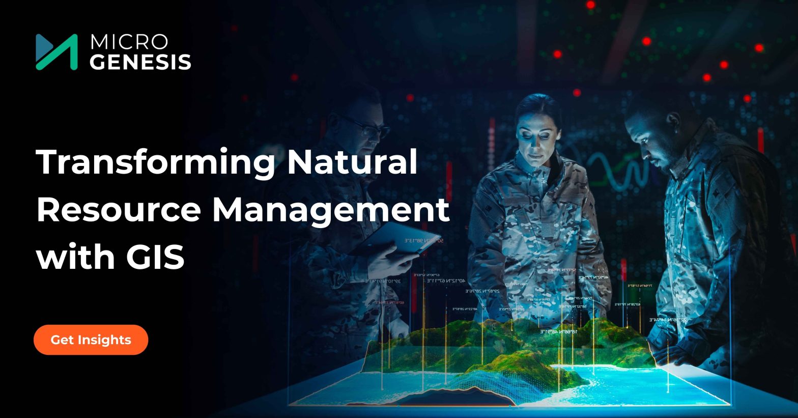
Defense
Our offerings leverage advanced technologies to boost situational awareness, automation, and accuracy, combining geospatial intelligence with autonomous systems for informed decision-making.
-
-
- Resources
-
-
Resources
Access insights from MicroGenesis on solving complex engineering and technology challenges. Our resources cover practical solutions, scalable strategies, and approaches that drive operational efficiency. Subscribe for the latest expert perspectives.
-
-
- Contact Us