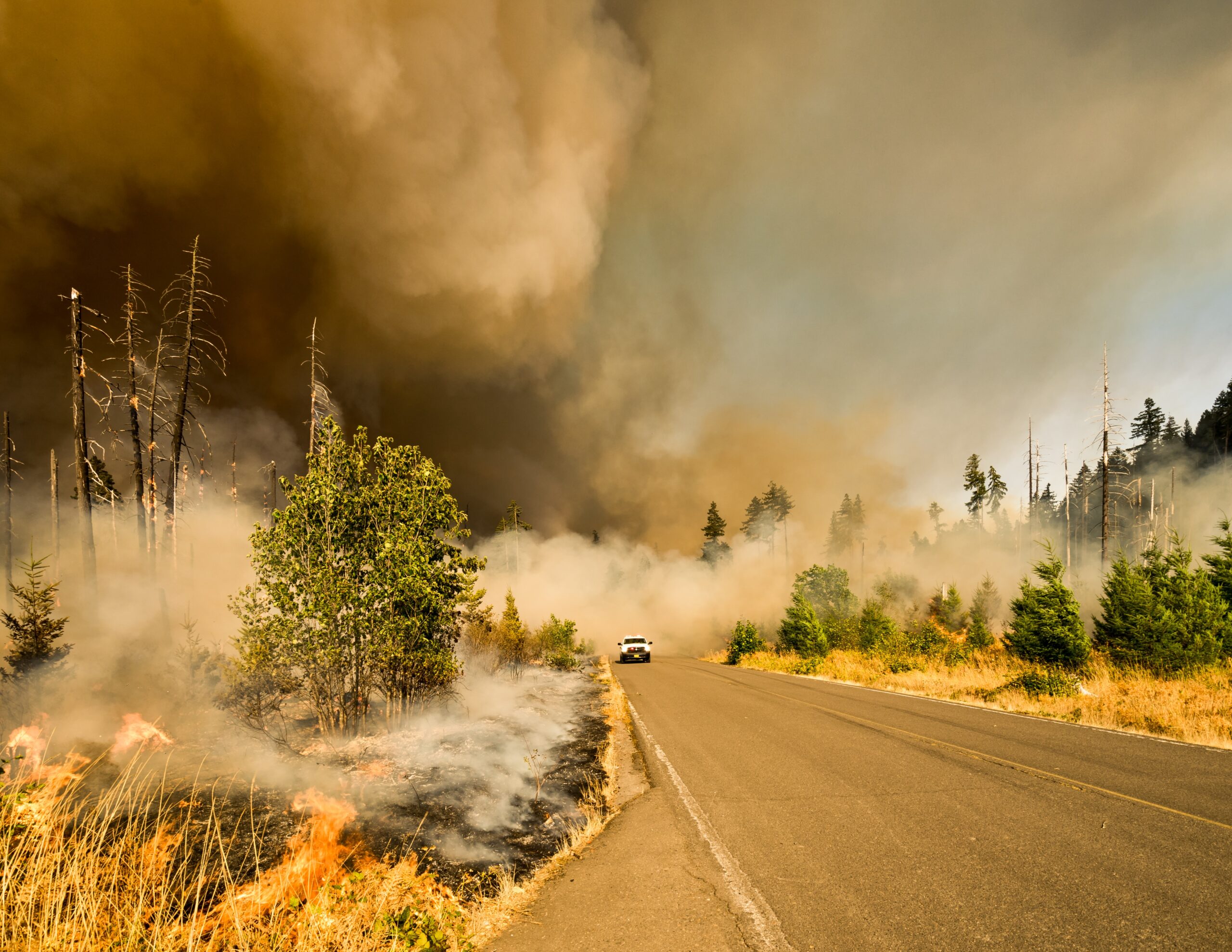
Disasters are a common occurrence in many parts of the world. From natural disasters like earthquakes, floods, and wildfires to man-made disasters like oil spills and industrial accidents, these events can cause significant damage to the environment and human life. The ability to respond quickly and effectively to these disasters is critical in mitigating their impact and helping affected communities recover. One tool that has become increasingly important in disaster response and recovery efforts is Geographic Information Systems (GIS).
At MicroGenesis, we specialize in providing indigenous IndiGIS solutions that help Defence Forces, Para Military Forces and governments organisation to make informed decisions and allocate resources effectively in disaster response and recovery efforts. Our team of experts has extensive experience in working with geospatial data and developing custom GIS solutions that meet the unique needs of each client.
Here are some of the ways in which MicroGenesis IndiGIS solutions can play a critical role in disaster response and recovery:
Disaster Preparedness: MicroGenesis IndiGIS solutions can help organizations and governments prepare for potential emergencies by mapping out vulnerable areas and identifying potential risks. This information can be used to develop emergency plans that take into account the unique characteristics of each community.
Disaster Response: During a disaster, MicroGenesis IndiGIS solutions can help decision-makers understand the scope and scale of the event by collecting real-time data on the location and severity of the disaster. This information can be used to identify the most urgent needs and allocate resources effectively.
Resource Allocation: MicroGenesis IndiGIS solutions can help Defence Forces, Para Military Forces and governments organisation to allocate resources effectively by mapping out the location of emergency responders, equipment, and supplies. This information can help ensure that resources are being deployed to the areas that need them the most.
Damage Assessment: MicroGenesis IndiGIS solutions can help Defence Forces, Para Military Forces and governments organisation to assess the extent of the damage and prioritize recovery efforts by using satellite imagery and other remote sensing technologies. This information can be used to identify which areas need the most immediate attention and allocate resources accordingly.
Disaster Recovery: MicroGenesis IndiGIS solutions can help communities recover by mapping out the location of damaged infrastructure and buildings. This information can be used to identify which areas need to be rebuilt or repaired first, and to prioritize recovery efforts based on the needs of the affected population.
Resource Distribution: MicroGenesis IndiGIS solutions can help ensure that affected communities have access to the resources and support they need to rebuild by mapping out the location of temporary housing, food distribution centers, and other resources. This information can help ensure that these resources are being distributed fairly and efficiently.
Cross-Border Disaster Response: MicroGenesis IndiGIS solutions can facilitate cross-border disaster response efforts by helping organizations and governments coordinate their response efforts and share critical information. This can be particularly important in the case of large-scale disasters that affect multiple countries.
In conclusion, MicroGenesis IndiGIS solutions play a critical role in disaster response and recovery efforts. By providing decision-makers with real-time data and helping to allocate resources effectively, our solutions can help mitigate the impact of disasters and support affected communities as they work to rebuild.


