- Company
-
-
Company
Built on strong engineering fundamentals, thoughtful, future-driven leadership, and a collaborative culture, we at MicroGenesis focus on delivering dependable outcomes for customers and partners.
-
-
- Services
-
-
Services
Our engineering, automation, and operations are integrated to ensure systems move reliably for building long-term operation.
The intent is to reduce risk, manage change effectively, and sustain performance in complex environments.
-
-
- Products
-
-
Products
Built to solve focused, recurring problems encountered in complex engineering and operational environments, our products emphasize accuracy, automation, and reliability to support better decisions and more efficient execution.
-
-
- Partners
-
-
Partners
Our partnerships are built around applying proven platforms to real engineering and operational challenges with a focus on improving traceability, automation, and quality across complex systems and development lifecycles.
-
-
- Defence
-
-
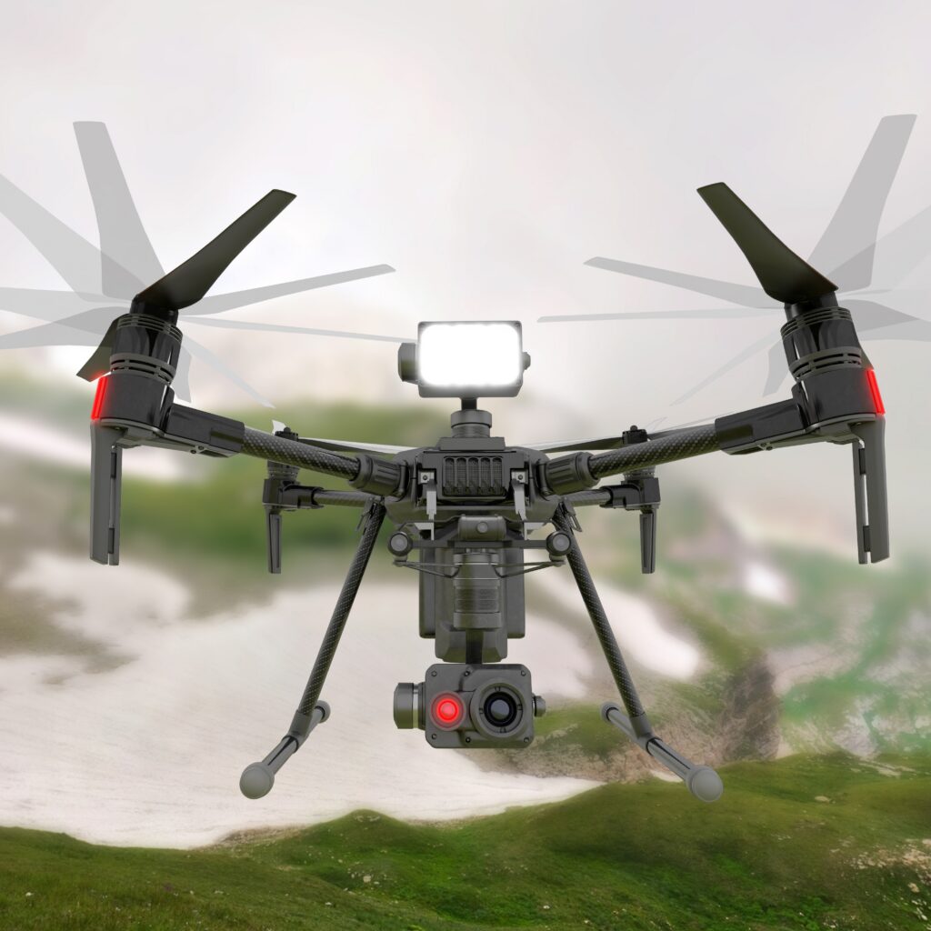
Defense
Our offerings leverage advanced technologies to boost situational awareness, automation, and accuracy, combining geospatial intelligence with autonomous systems for informed decision-making.
-
-
- Insights
-
-
Insights
Access insights from MicroGenesis on solving complex engineering and technology challenges. Our resources cover practical solutions, scalable strategies, and approaches that drive operational efficiency. Subscribe for the latest expert perspectives.
-
-
- Contact Us
- Company
-
-
Company
Built on strong engineering fundamentals, thoughtful, future-driven leadership, and a collaborative culture, we at MicroGenesis focus on delivering dependable outcomes for customers and partners.
-
-
- Services
-
-
Services
Our engineering, automation, and operations are integrated to ensure systems move reliably for building long-term operation.
The intent is to reduce risk, manage change effectively, and sustain performance in complex environments.
-
-
- Products
-
-
Products
Built to solve focused, recurring problems encountered in complex engineering and operational environments, our products emphasize accuracy, automation, and reliability to support better decisions and more efficient execution.
-
-
- Partners
-
-
Partners
Our partnerships are built around applying proven platforms to real engineering and operational challenges with a focus on improving traceability, automation, and quality across complex systems and development lifecycles.
-
-
- Defence
-
-
Defense
Our offerings leverage advanced technologies to boost situational awareness, automation, and accuracy, combining geospatial intelligence with autonomous systems for informed decision-making.
-
-
- Insights
-
-
Insights
Access insights from MicroGenesis on solving complex engineering and technology challenges. Our resources cover practical solutions, scalable strategies, and approaches that drive operational efficiency. Subscribe for the latest expert perspectives.
-
-
- Contact Us